Fresh Water Mapping for West Maui, Hawai‘i
The impacts of increased urbanization and climate change, compounded by unsustainable consumption practices, have dramatically altered the supply and availability of fresh water all across the Hawaiian Islands. Shielded by hills and mountains, leeward regions of the islands face a deficit in moisture due to the absence of prevailing winds, making them particularly susceptible to droughts and wildfires. In August 2023, West Maui experienced the convergence of severe storm conditions, which coupled with an already arid landscape, led to the most devastating wildfire in recent history.
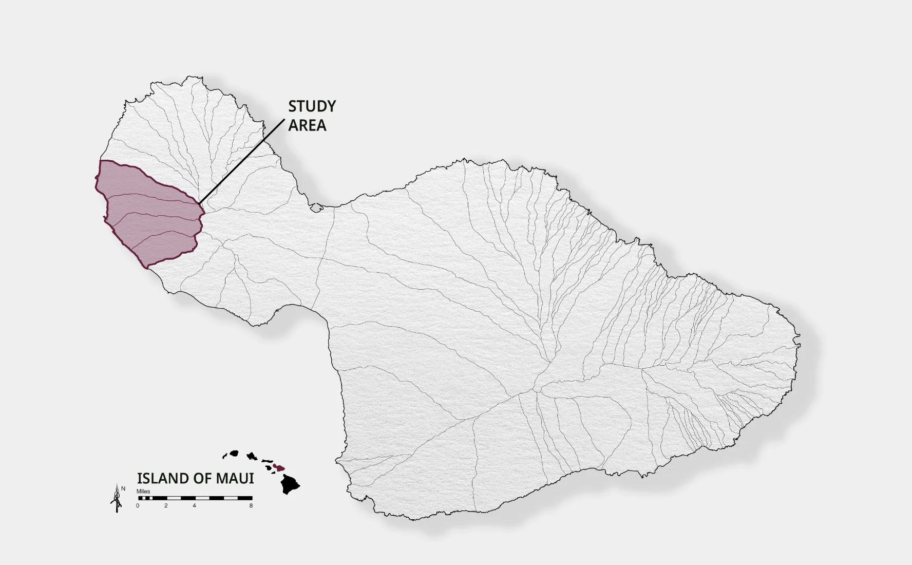
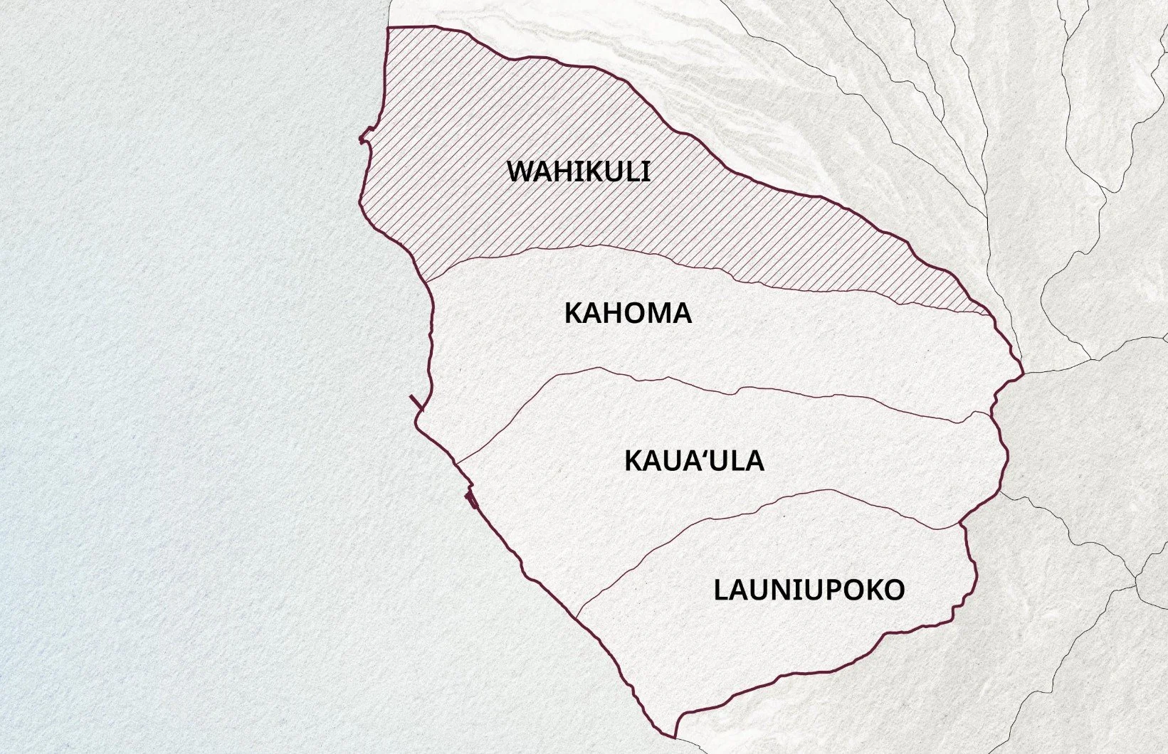
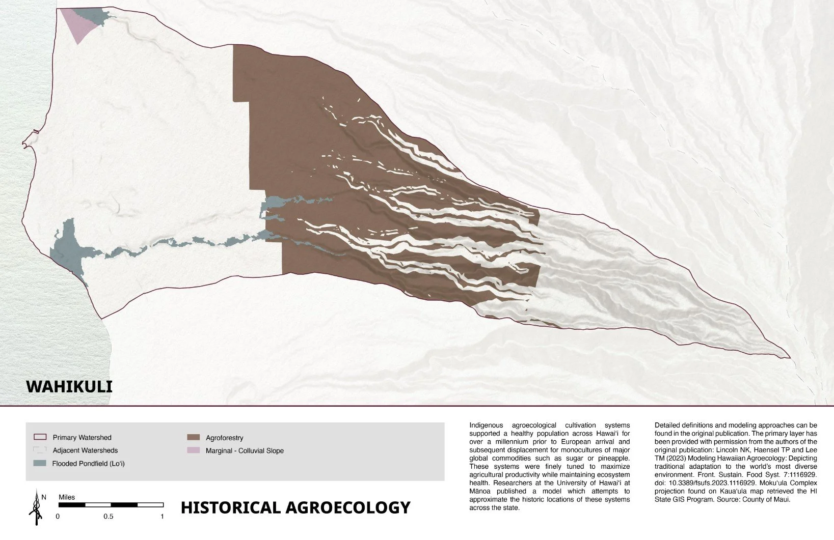
In December 2023, Ulupono Initiative contracted the University of Hawaiʻi Community Design Center (UHCDC) to produce a series of maps for West Maui including areas in the Wahikuli, Kahoma, Kauaʻula, and Launiupoko watersheds. Illustrations that center wai, or fresh water, were created in order to help inform discussions and future planning for West Maui’s recovery and redevelopment.
Client: Ulupono Initiative
Principal Investigator: Kimi Makaiau
Project Staff: Jonathan (Malu) Stanich
Student Project Assistant: Michelle Lee, Joyce Lin